Sha Tau Kok is unique in thatit embodies Hong Kong's history. Legend has it that the name “Sha Tau Kok” originates from a poetic verse of the Qing Dynasty: “The sun rises over Sha Tau (a side of the beach), the moon hanging over the sea corner.” When the New Territories were leased by the British in 1898, The Shenzhen River and the then Sha Tau Kok River were used to delineate the boundary between the Chinese and the British. In 1951, the British Hong Kong Government designated about 2 800 hectares of land in New Territories North as a Frontier Closed Area. The town of Sha Tau Kok, which formed part of this closed area, is wrapped in a veil of mystery since.
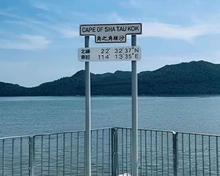
The Frontier Closed Area was gradually opened from 2012 onwards. The town of Sha Tau Kok is also open to tourists with valid Closed Area Permits beginning from 1 January 2024, making the town a preferred destination for many tourists. We have provided a leisure area at the Cape of Sha Tau Kok to enable visitors to fully enjoy the coastal view of Sha Tau Kok as well as overlook the Mainland part of the town.
We have also installed a replica of one of the boundary stones erected along Chung Ying Street of Sha Tau Kok to enable visitors to understand more about the unique history of this place.
There are more fascinating destinations in the vicinity of Sha Tau Kok. For instance, the Kat O Island where visitors can take in the breathtaking view of the Yan Chau Tong Marine Park, the Hing Chun Alliance Heritage Trail with its rural living experience, and the Robin's Nest Country Park are all attractive choices for visitors. Apart from Sha Tau Kok, North District is also home to other destinations reflecting Hong Kong's history. From the Reunification Garden in Sheung Shui to Crest Hill and Macklntosh Forts used for boundary patrol in the past, these are a must-go for local history buffs!
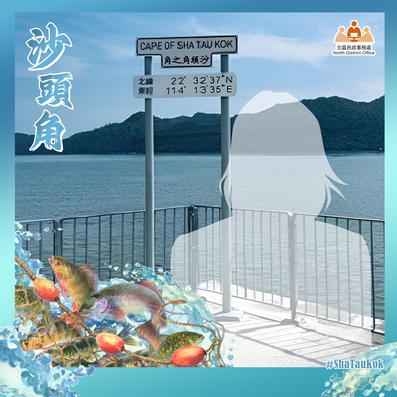
Shotspot Selfie